Skip to content

Or try searching by Category and/or Location

National parks in North Iceland

Within the area of Vatnajökull national park is Jökulsárgljúfur canyon, Ásbyrgi, waterfall Dettifoss and crater plugs Hljóðaklettar. A must-see for every visitor to North Iceland.

Jökulsárgljúfur Canyon
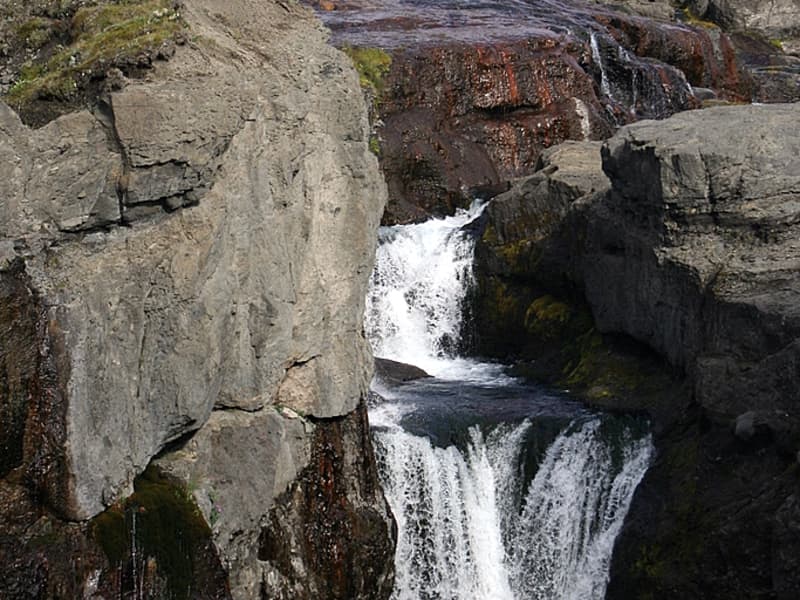
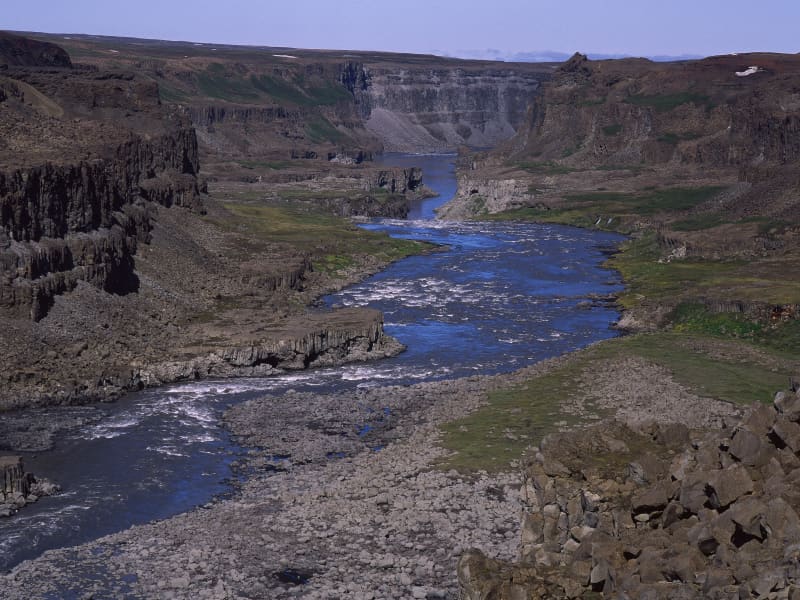
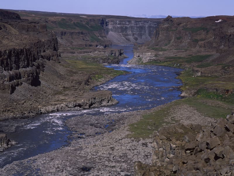
This dramatic canyon, Jökulsárgljúfur, was formed by the actions of water, fire and ice. Enormous, catastrophic glacial bursts are believed to have carved out the deep ravines and rocky basins, the most famous of which is Ásbyrgi.The Hljóðaklettar outcrops are the cores of ancient volcanoes, revealed when the river swept away all the loose volcanic material.The waterfalls on the River Jökulsá á Fjöllum, Selfoss, Dettifoss, Hafragilsfoss and Réttarfoss are powerful and impressive.The Hólmatungur district is an area of contrasts: crystal clear streams and bubbling brooks cross the land before emptying into the raging, chocolate-coloured torrent. A delicate balance of flora and fauna thrives under the protection of cliffs and scree slopes.
Hólmatungur
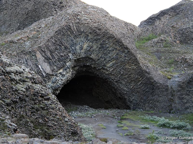
Hólmatungur is an expanse of rich vegetation in the Jökulsárgljúfur area, and there are many beautiful columnar rock formations to be found there. The footpath between Hljóðaklettar and Hólmatungur, alongside Jökulsá á Fjöllum, is among the most beautiful in Iceland. The waters of countless streams bubble up in Hólmatungur, which then tumble over ledges into Jökla. Here you will also find Gloppuhellir cave in Gloppa, which is a very special natural creation.
Mývatn Nature Reserve
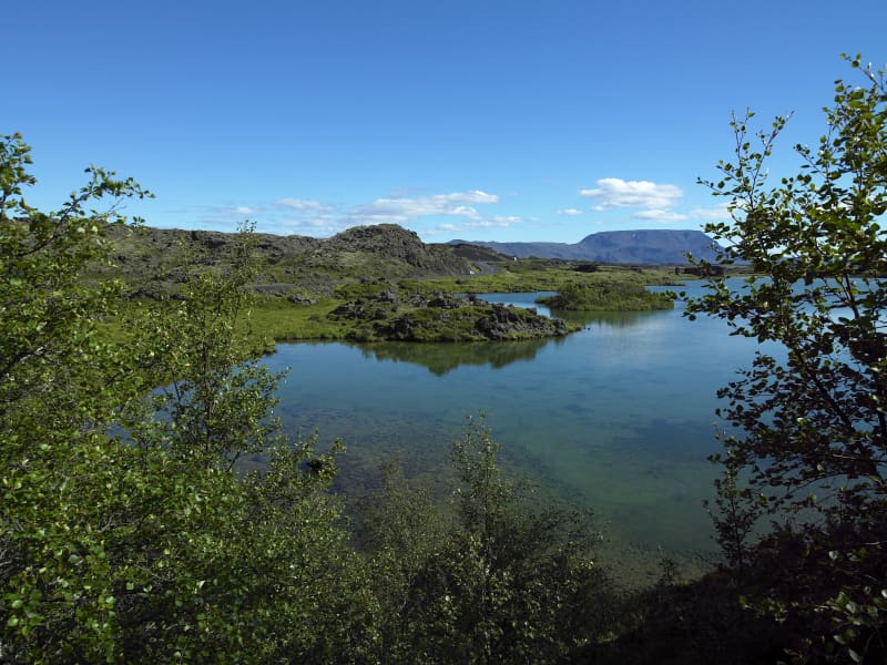
Lake Mývatn is a veritable paradise for birdwatchers and there is a highly diverse birdlife to be found both on the waters of the lake itself and on its shores. Many waders and marsh dwellers make their home there, but Mývatn is probably best known for its unique duck species composition. During the summer months there are more species of duck gathered in and around its waters than anywhere else on the planet. Mývatn and its wetlands are protected as a nature reserve (The Mývatn-Laxá Nature Conservation Area). It is registered as one of the internationally important wetlands, along with the Laxá river which flows out of the lake.
Kverkfjöll
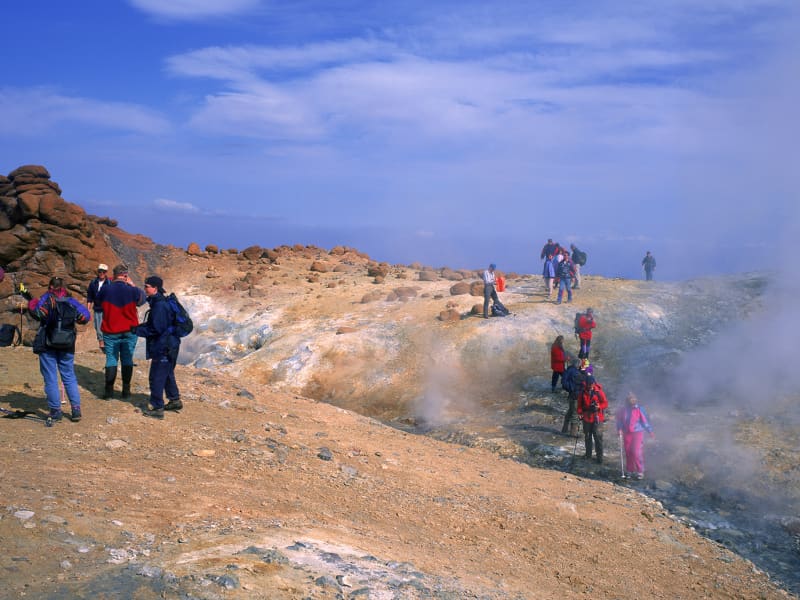
The Kverkfjöll mountain range, Iceland's third highest mountain group, is a cluster of peaks formed by a large central volcano on the northern edge of the ice cap.One of Iceland's most active high-temperature geothermal areas is located in the western Kverkfjöll Mountains. Its existence is due to a fault scarp. An area of hot springs 3 km long and nearly 1km wide can be found at an altitude of 1600-1700 m. More information about the National Park is at the webpage: www.vatnajokullnationalpark.is
Vatnajökull National Park - north part
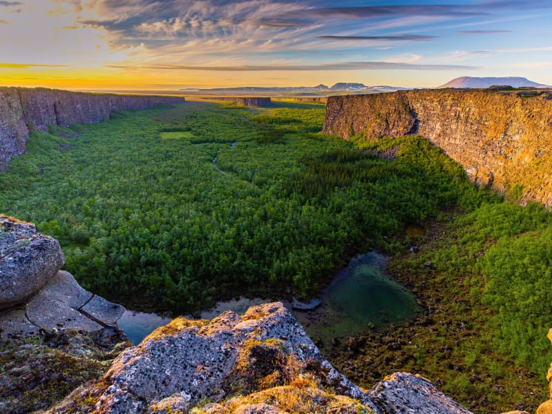
Vatnajökull National Park is vast in size and covers more than 13% of Iceland. Despite a large part of the national park being underneath the icecap of the glacier Vatnajökull its landscape is diverse, predominantly due to the interplay of volcanic activity and glaciers. Jökulsárgljúfur is an area that takes its name from a canyon carved out by river Jökulsá á Fjöllum. Within this area is Ásbyrgi; surrounded by horseshoe-shaped cliffs and also the location of Ásbyrgi visitor centre and a large camp site. Also within Jökulsárgljúfur are waterfall Dettifoss and crater plugs Hljóðaklettar, both a must see for every visitor in the north. Central volcano Askja and highland oasis Herðubreiðarlindir are further up in the highlands. To get there requires a 4x4 transport. They are best accessed by road 901 and then F905. Two small fords need to be crossed on this way. Alternative route is through road F88 but then two fords that need extreme caution need to be crossed. More information about the National park is at the webpage: www.vatnajokullnationalpark.is  
Ásbyrgi canyon
Ásbyrgi is one of the wonders of nature, a well-forested horse-shoe-shaped canyon in Öxarfjörður. Ásbyrgi is a part of Jökulsárgljúfur canyon, within the Vatnajökull National Park. The Jökulsárgljúfur site of the National park reaches from highway 85, by Ásbyrgi south to Dettifoss, covering an area of 120 km2. Informative visitor‘s centre, shop, golf course, and camping site are located by Ásbyrgi. Many hiking tracks are in the vicinity of Ásbyrgi. Ásbyrgi canyon is part of the Diamond Circle. https://www.northiceland.is/diamondcircle.
Bárðarbunga
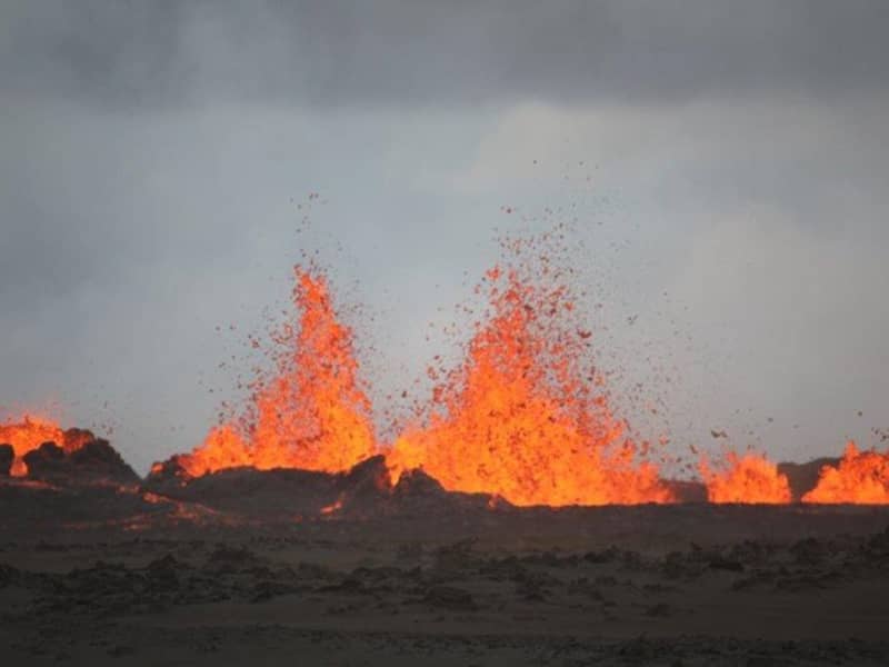
Bárðarbunga, is a stratovolcano located under Vatnajökull, Iceland's most extensive glacier. The second highest mountain in Iceland, 2,009 metres (6,591 ft) above sea level, Bárðarbunga is also part of a volcanic system that is approximately 200 kilometres (120 mi) long and 25 kilometres (16 mi) wide.
Hljóðaklettar
Hljóðaklettar in the canyon Jökulsárgljúfur is a distinctive cluster of columnar rock formations standing at the entrance to Vesturdalur, down by the Jökulsá á Fjöllum River. The columns lie at all angles and it’s an entertaining exercise for one's imagination to interpret their patterns. The road to Hljóðaklettar (862) is closed over the winter months.