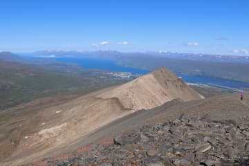
Kjarnaskógur woods
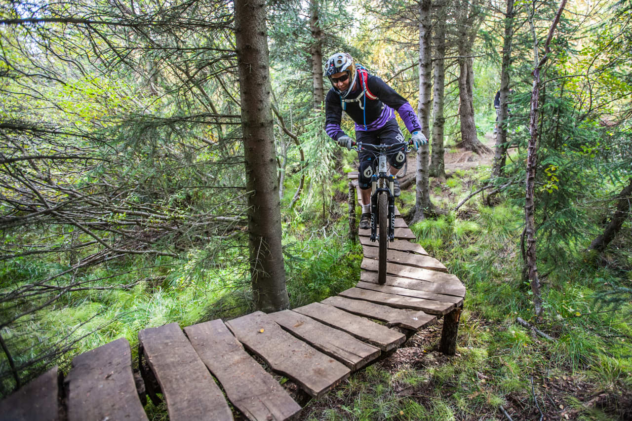


Kjarnaskógur Woods
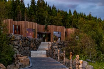
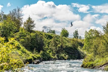
South of Akureyri is one of the towns most popular outdoor area
- the woodland Kjarnaskógur. The recreational area is approx 800
hectars with more than 1.5 million trees, of many species planted within the
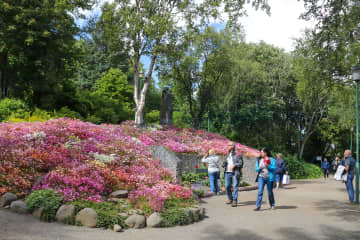
last 50 years. The area has diverse selection of trees and along the creek
Brunná one can find a tree sample track. For bird lovers, the area
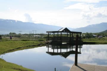
is rich of birds and by the marshland in the north of the area (by Hundatjörn
in Naustaborgir) there is a bird watching shelter. A campsite is nearby,
Hamrar, with easy access to the forest.
In the forest you find:
* Three playgrounds
* Volleyball courts and outdoor gym
* Grill houses and pick-nick areas for both individuals and groups
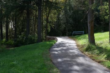
* Aprox. 12 km of gravel-tracks for hiking, running and biking, of which 6 km
are lighted during dark hours. Also plenty of forest tracks and other vast
network of back country trails. For more details view the maps further down the
page.
* Restrooms and water fountain
* 4 carparks
* Mountain bike trails are in the woods and are also connected to the mountain
bike trails in Mt. Hlíðarfjall - These combined create the longest mountain
bike trail in Iceland with a total of 21.6 km.
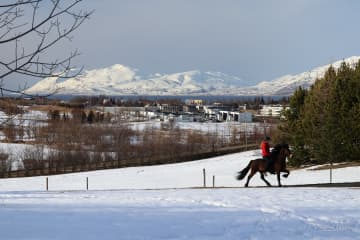
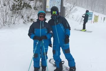
* During winter - the largest organized cross country tracks area (in a
woodland area in Iceland) with around 20 km of groomed trails and 6
km are lighted. The grooming statues can be viewed here. The colors on
the map indicate the time since they were groomed last (green, orange and pink
are from a couple of hours up to 48 hours, while light blue, dark blue and grey
are from 2 days or up to 14 days or more). Areas for sledding are also groomed
during winter, by the statue of the Einar wood-ranger and below the sun-clock.
How to get there:
Head south from the town along the road no. 823, pass the airport and turn
right by the sign "Kjarnaskogur" and follow the bending road up to
the parking area. Aprox 5 min drive from town center and 30 minutes walk.
It is possible to take bus number 1, 2 or 5 from town square,
Ráðhústorg, and go out at Kjarnagata/Vallatún, by the golf course. From there
is about two km. walk to Kjarnaskógur area.
Contact info:
Skógræktarfélag Eyfirðinga
Sími: (+354) 462 4047
Email: ingi@kjarnaskogur.is
Webpage: https://www.kjarnaskogur.is/
Map of the area: Kjarnaskógur - Easy and shorter walks
https://www.visitakureyri.is/static/files/2012-VISIT/pdf/kjarnasogur-lettleidir-1-.pdf
Kjarnaskógur - All tails - overview map
https://www.visitakureyri.is/static/files/2012-VISIT/pdf/kort-2018-stora-kortid-a-orva-a2.pdf
Hamrar - the campingsite and surrounding
trails
https://www.visitakureyri.is/static/files/2012-VISIT/pdf/kort-2018-hamrar-lett-an-orva.pdf
Naustaborgir - Naturereserve area -
trails
https://www.visitakureyri.is/static/files/2012-VISIT/pdf/kort-2018-naustaborgir-lett-an-orva.pdf
Gönguskíðabrautir - Crosscountrytrails
https://www.visitakureyri.is/static/files/2012-VISIT/pdf/gonguskidi.pdf


